Last updated
24 August 2012
|
Flooding (Who'll stop the Rain?)
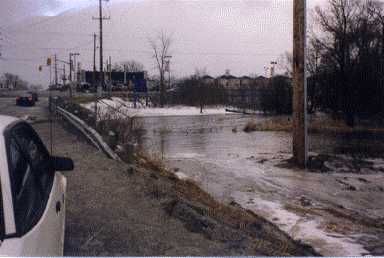
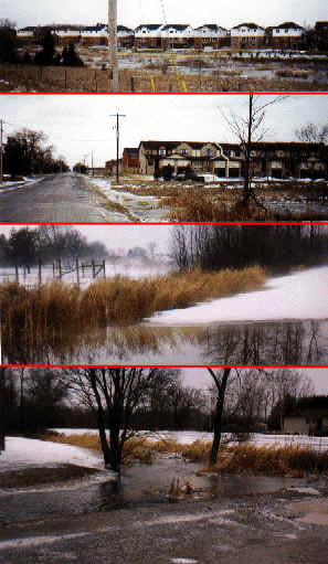
This photo shows flooding after one night of rain - at the northwest corner of Courtice Rd & Hwy #2. The development shown in the photo "Setback" is located just off to the right if this picture were extended. The photo was taken in February 1997, before the development was completed.
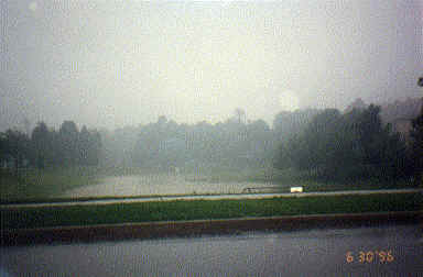
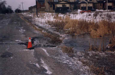
The above photo shows flooding in the Nash Rd/George Reynolds Drive area of North Courtice, this after only one day of heavy rain (June). These are areas where developers and consultants are telling us there are "intermittent streams", which are usually dry.
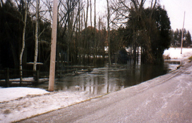
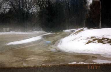
The above pictures show flooding on Nash Road between Courtice Rd & Hancock Rd in North Courtice. You can see the damage to the road from the flooding, which is evident in more pictures below of the same area...
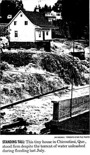
Will residents in the many new planned subdivisions in North Courtice experience something like the people in Quebec (see below), Manitoba, Europe had to deal with in 1997? And who will be responsible? All the clear cutting of our woodlots and paving over of the land makes the ground much less permeable and more subject to flooding, in an area that is already known for it's very high water table and groundwater recharge. But the clear cutting and building continue in these sensitive areas despite resident's pleas to our local and regional government.
You can help by contacting your local council by letter or as a delegation before Council. See Contacting Council (Clarington) for information on how to be heard.
|